Geographical Location of Zard Kuh
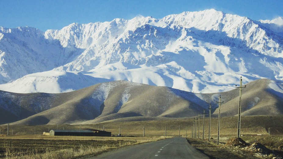
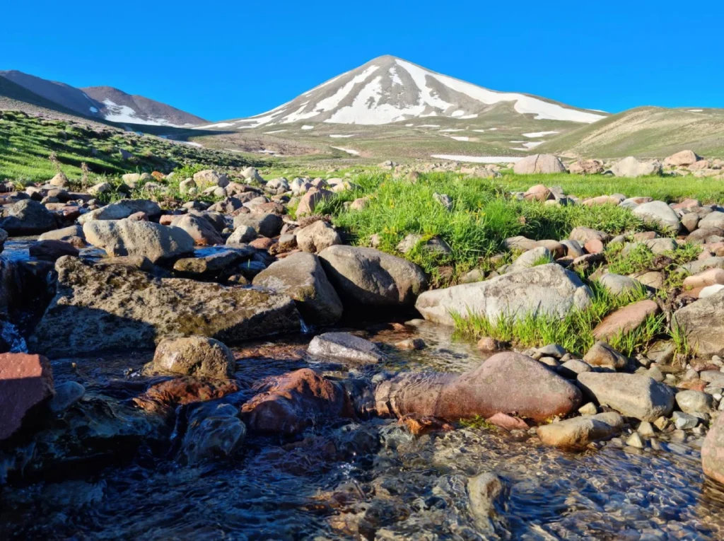
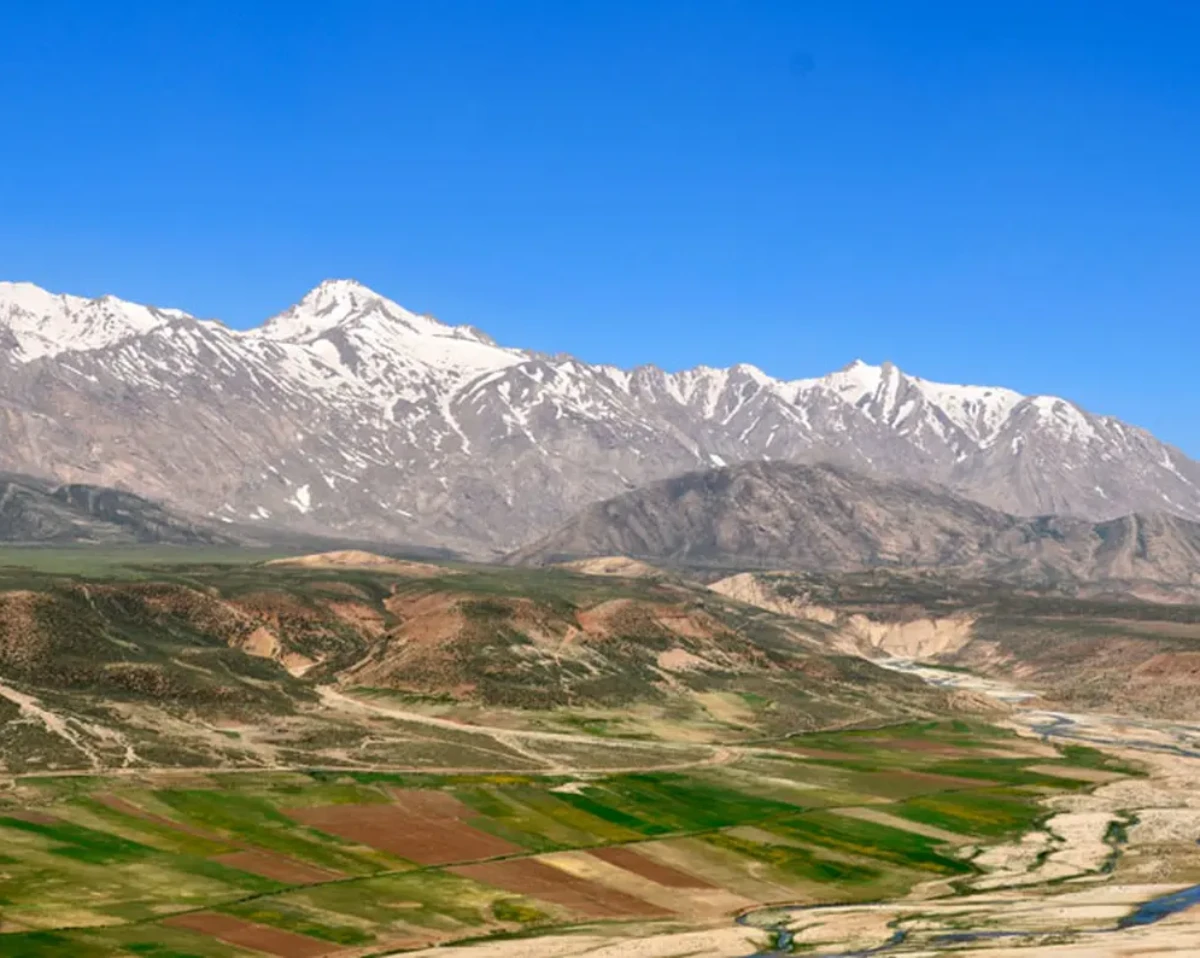
Zard Kuh is in the Chaharmahal and Bakhtiari Province of central Iran in the Zagros Mountains. The city is only 200 km west of Isfahan, and near towns of Shahrekord and Kuhrang. This range, stretching from the northwest to the southeast, is a part of the Sanandaj-Sirjan geological zone that is bordered by deep valleys and alpine meadows.
It can be reached through dirt roads from Chelgerd, being very close to the Chelgerd Ski Resort and Koohrang Tunnel. The region not only supports nomadic migrations but also plays a role in the irrigation that is really important to the rivers of Iran, thus being significant for both ecology and tourism in the area.
also read: Sabalan Mountain
Zard Kuh’s Highest and Most Significant Peaks
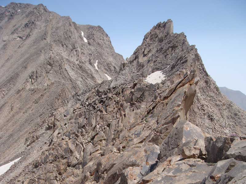
Zard Kuh has several famous peaks, among which Kolonchin is the highest one, exceeding 4,220 meters, hence, being the legendary summit and the second highest in the Zagros after Dena. Apart from these, the other notable peaks are Shah-e Shahidan and Haft Tanan; the latter provides a good view of the former.
Moreover, the entire range of Zard Kooh has a huge influence on mountaineering activities with its non-technical summer hikes and even more challenging winter alpinism, attracting climbers. Nature tourism benefits from these mountains as they are located in an area of varied wildlife and beautiful scenery.
Thus, it attracts eco-adventurers and photography enthusiasts. The rocks’ sharp and irregular limestone contours are amongst the attractions that make Zard Kuh so popular and easily accessible for all kinds of outdoor activities.
also read: damavand trekking
Best Time to Climb Mount Zard-Kuh
Information regarding the most appropriate times for the Zard-Kuh ascent is as follows:
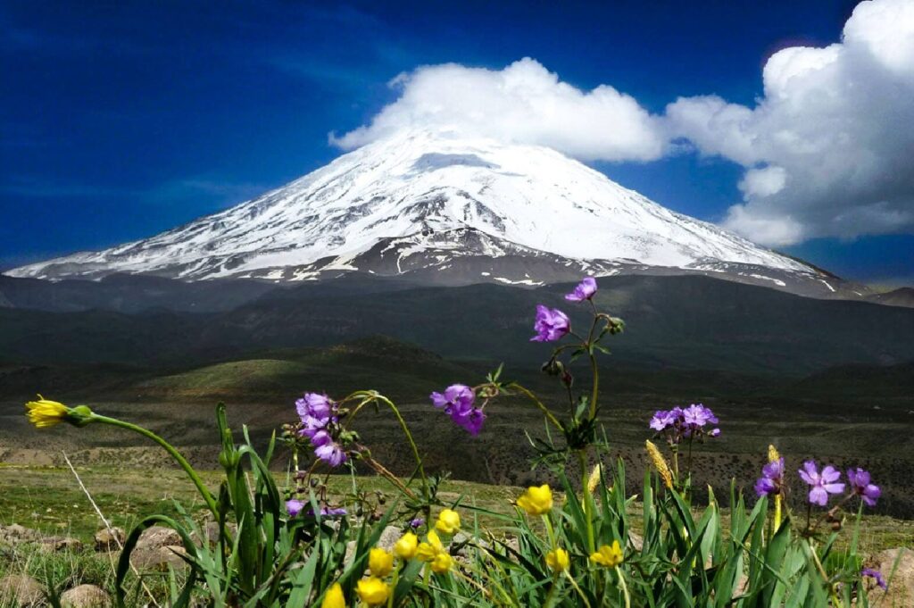
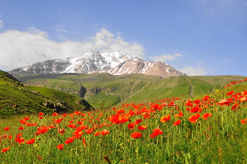
- Best times: St. August–September-the weather was stable, snow melted, a day temperature of 10–20°C, easy-to-see trails, and blooming of flowers.
- Spring (May–June): Gorgeous flowers but unsteady weather and avalanche hazards; winter equipment is required.
- Summer: Good access, though hot midday.
- Winter (November-April): Extreme cold, deep snow, high avalanches—only for pros with ice tools.
Safety warnings: Watch sudden storms, start early and prepare for altitude issues. Blizzards/winds can be fatal; prefer guided climbs.
also read: Sabalan Tour